ARCS, Amateur Radio Coordination System
Amateur
Radio Coordination System
The system is fully cloud-based and accessible through any modern web browser. User accounts are protected with two-factor authentication (2FA), and access requires a valid, verified amateur radio callsign. Upon deployment, the platform will be hosted on Microsoft Azure with built-in redundancy, automated backups, and enterprise-grade reliability.
Performance has been a primary design consideration throughout development. Even on the highly restricted development environment, complex Longley-Rice propagation analyses are typically completed in under two minutes. Once deployed to Azure's scalable infrastructure, the target processing time is 20 seconds or less. FCC callsign and licensing lookups are effectively instantaneous, measured in milliseconds, and database efficiency has been a core focus in the design of every major system process.
Coordination Workflow
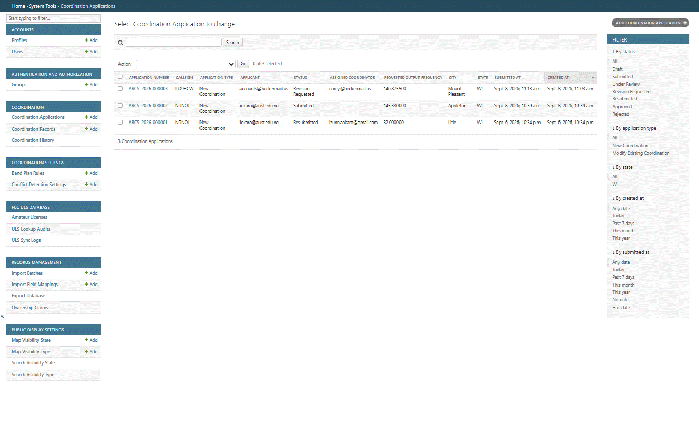
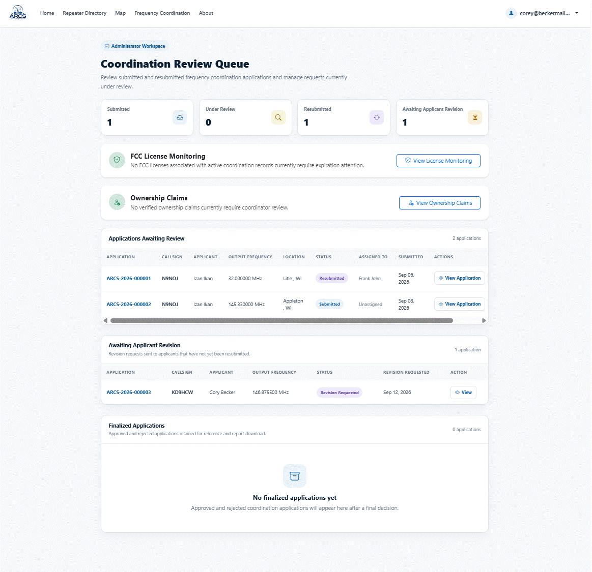
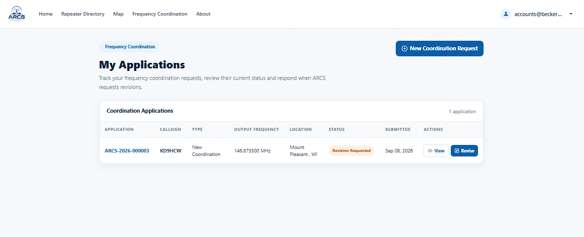
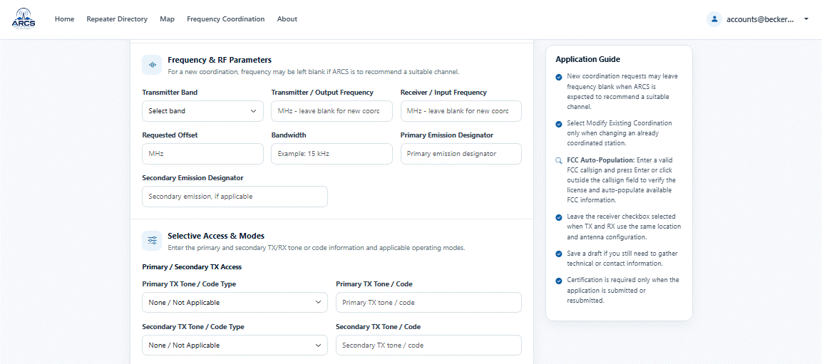
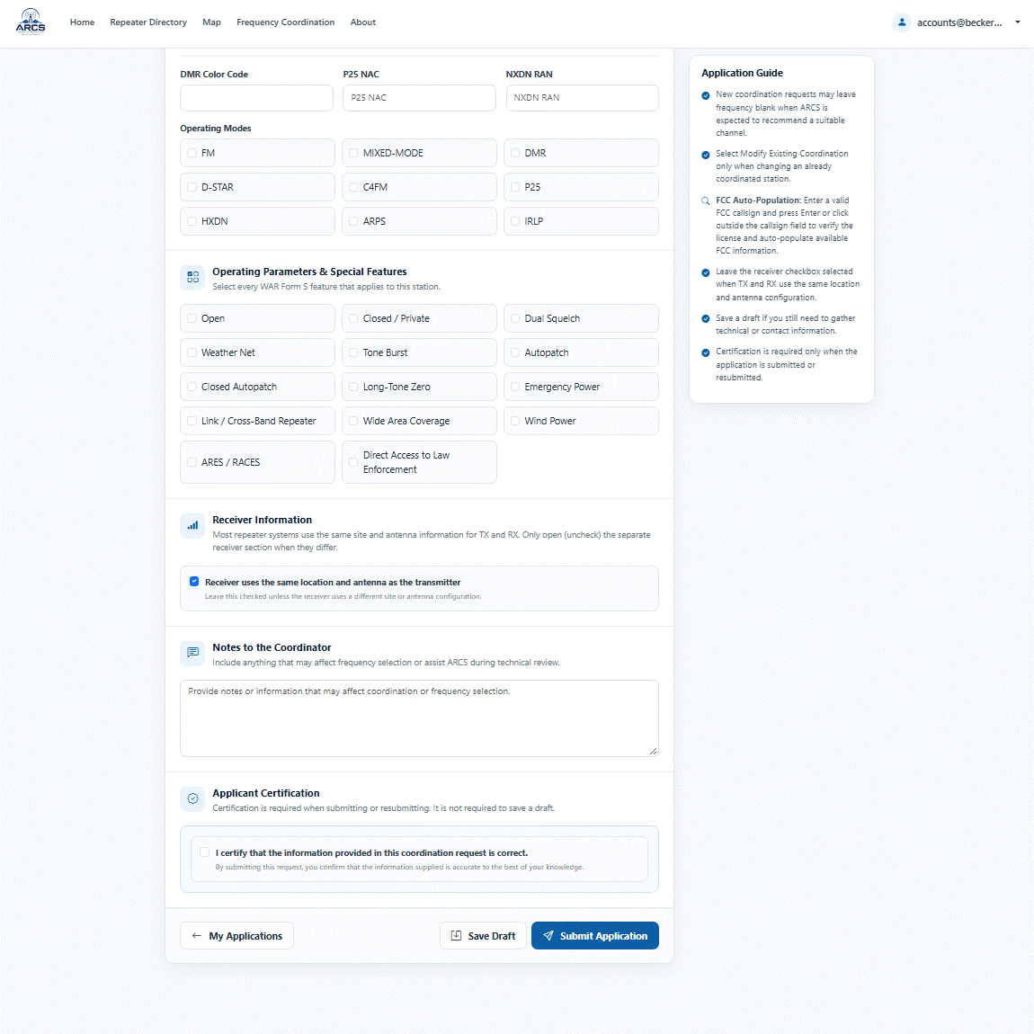
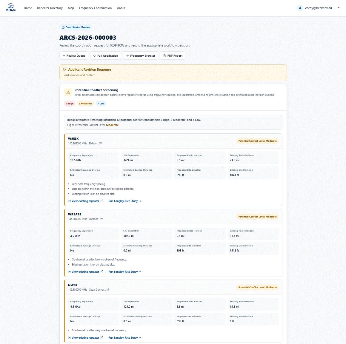
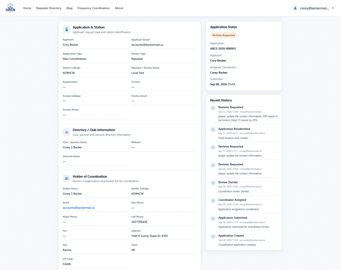
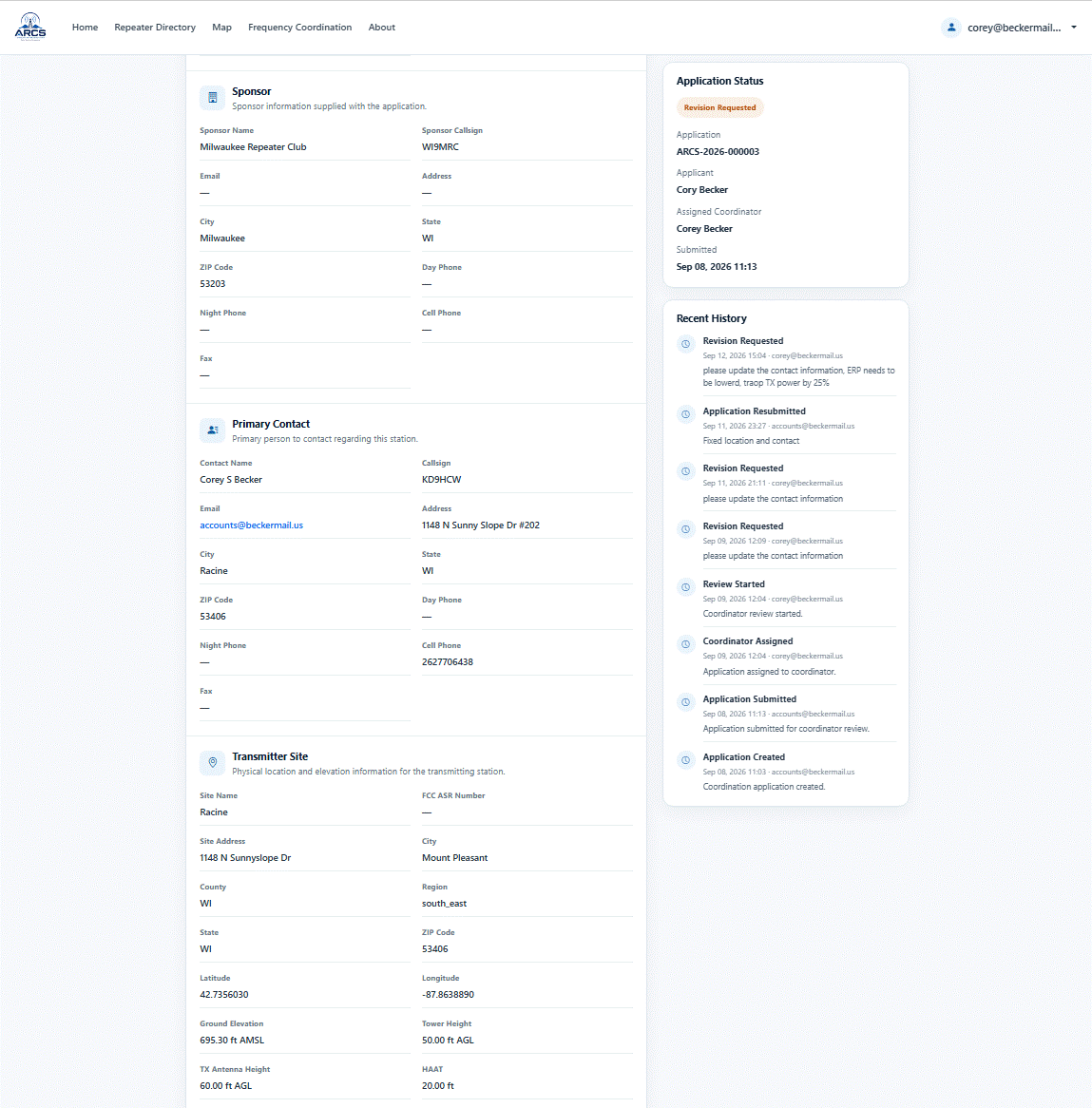
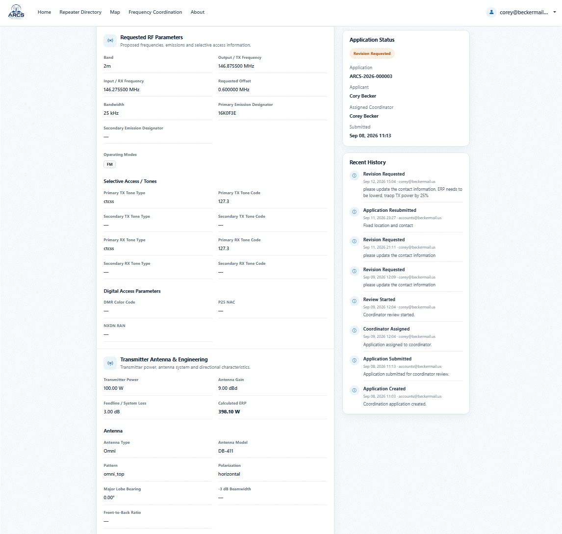
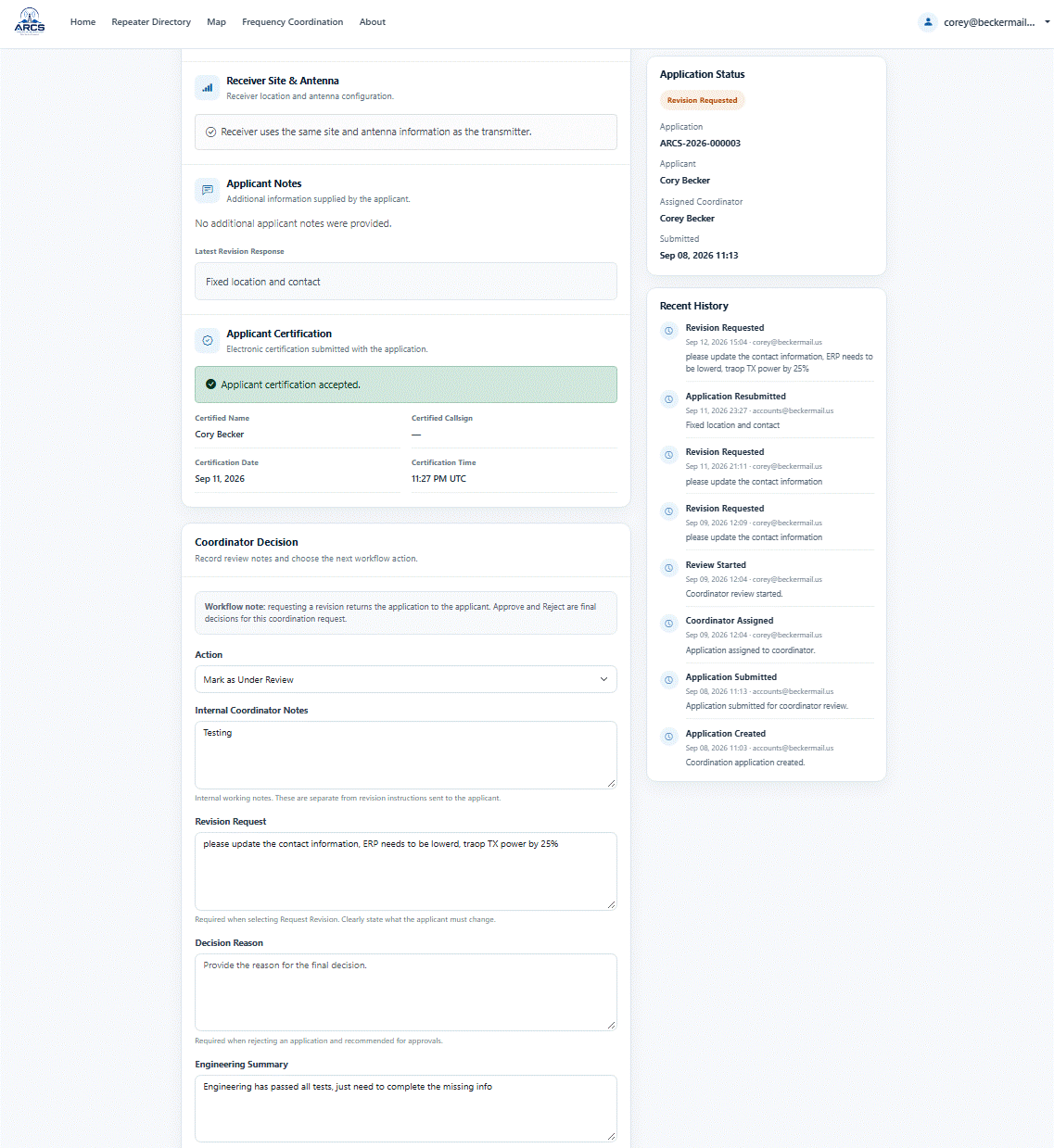
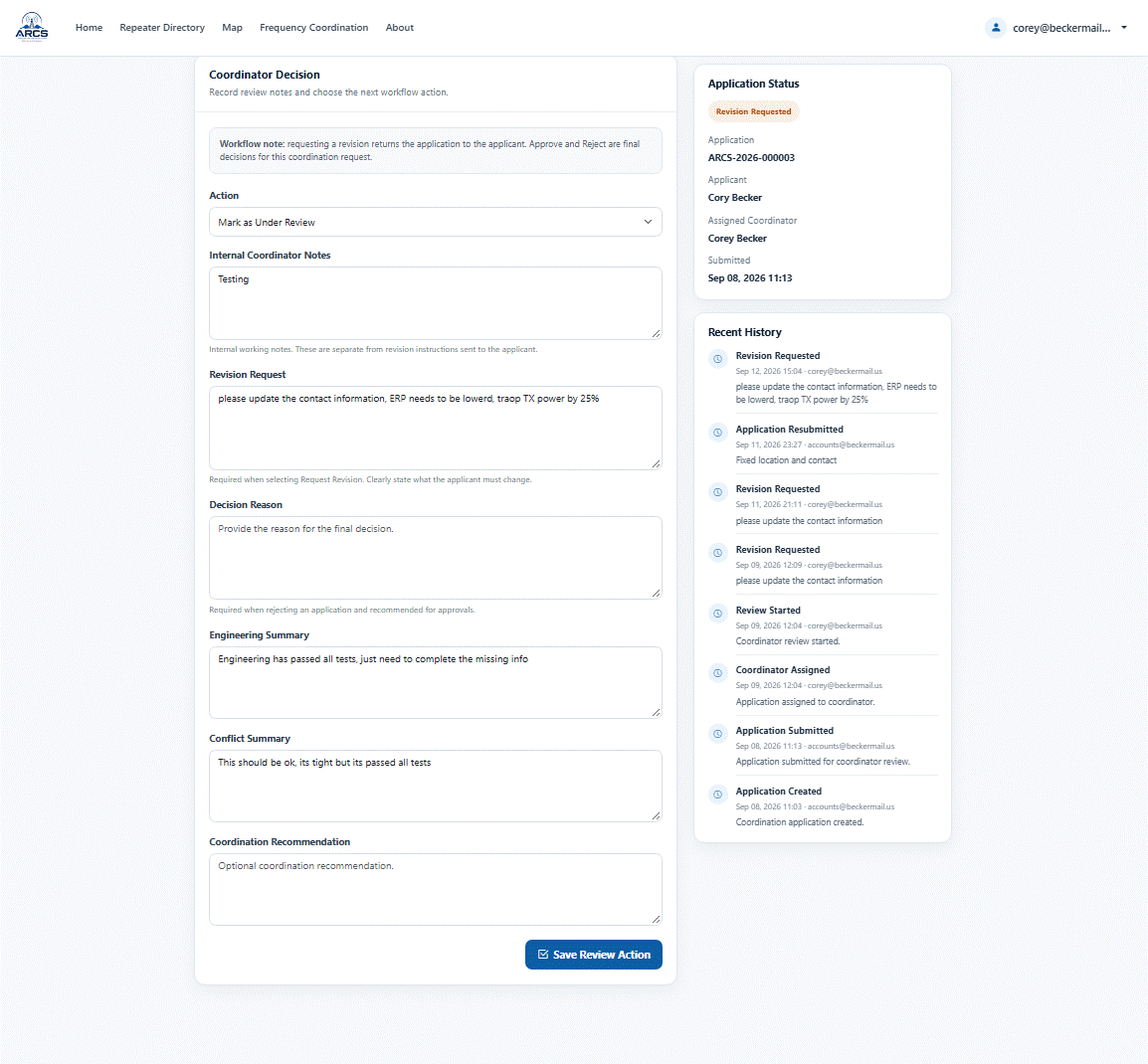
The coordination workflow is now fully functional and tested. All revisions, communication, and coordination notes are handled directly within the system including cross boarder collaboration. I am currently using two separate accounts to test and demonstrate both the coordinator and applicant perspectives.
Record Ownership & Account Association
Automatic record association is working and will help record owners gain access to existing records. Users can also submit ownership claims directly through the system when records are not already associated with their account. As well record ownership can be transferred by the owner to another registered ARCS user with the push of a button from within their account.
Interference Analysis
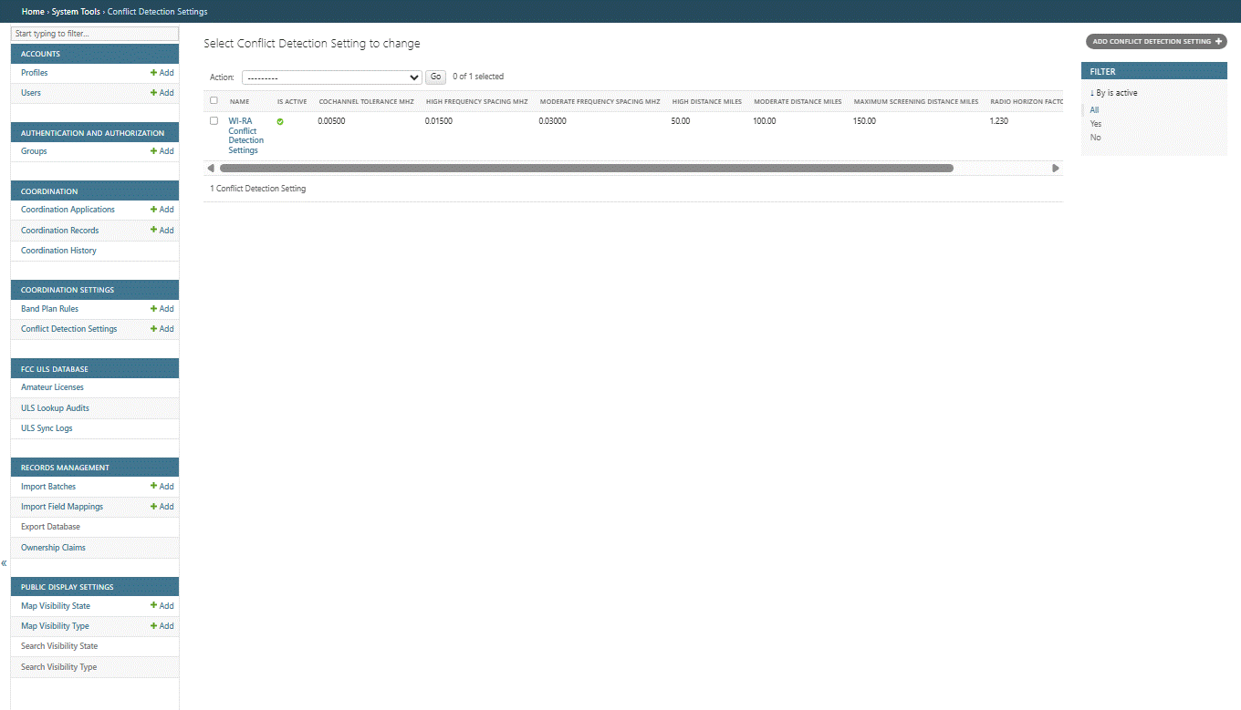
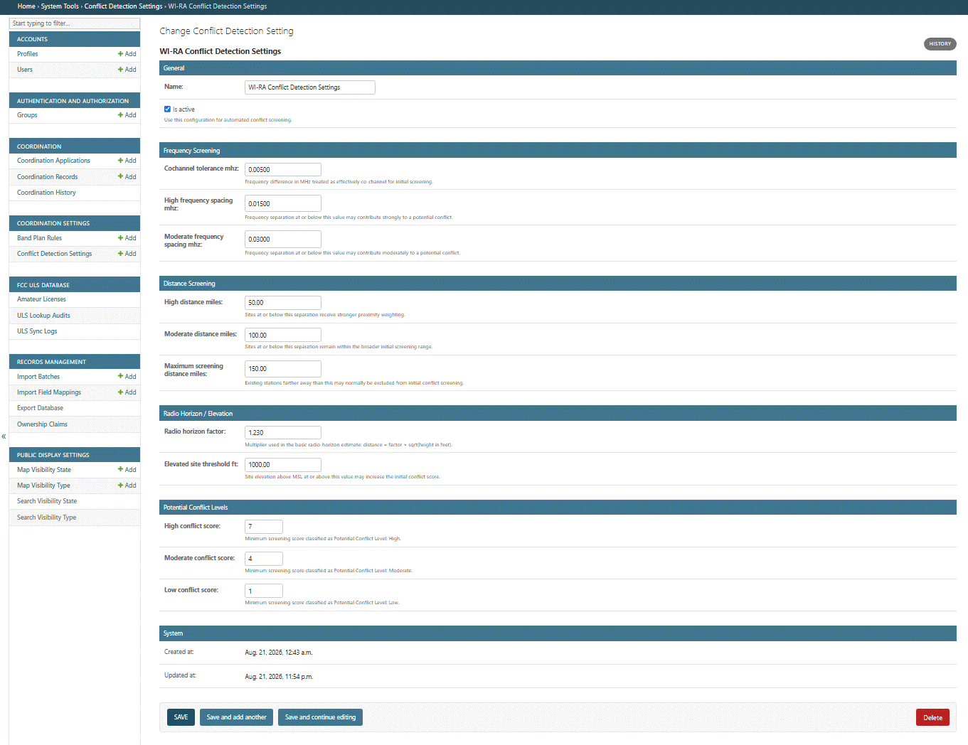
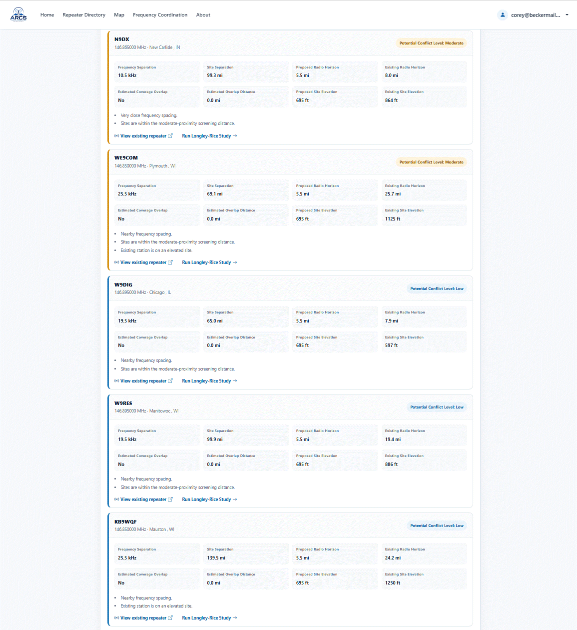
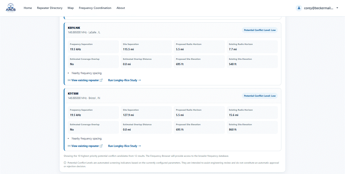
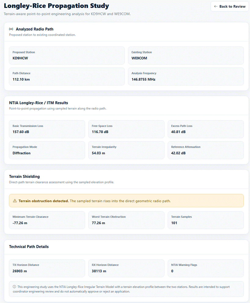
The interference detection engine is operating as expected. When potential conflicts are identified, coordinators can launch a Longley-Rice propagation analysis with a single click using an NTIA-compliant ruleset and scoring model. This takes out the guess work and allows better use and reuse of the spectrum.
FCC Data Integration
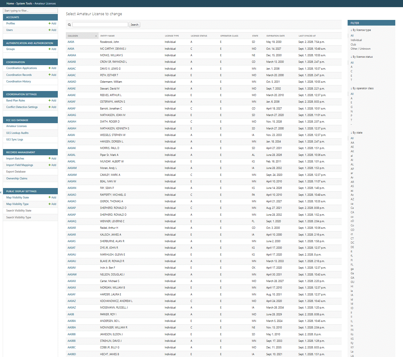
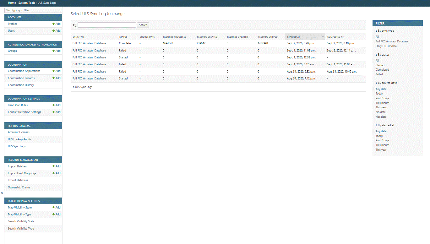
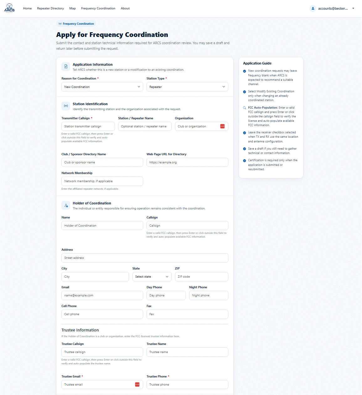
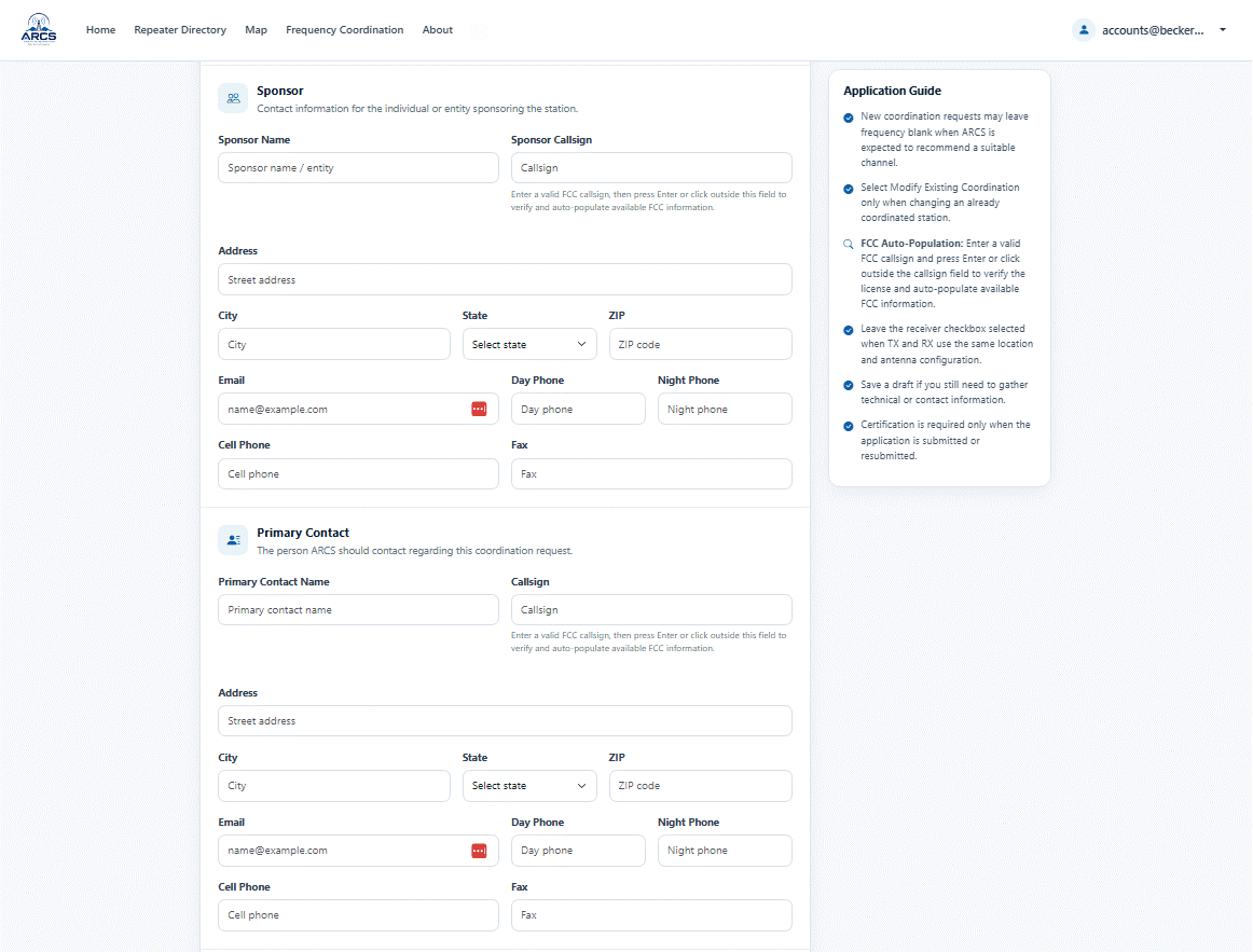
FCC information is automatically populated where available. Daily ULS synchronization has been completed but cannot be enabled until the application is migrated to Azure due to resource limitations in the current development environment.
License Monitoring
ARCS monitors all coordinated records associated with an amateur radio callsign and will flag licenses approaching expiration or licenses that have already expired.
FCC Lookup Tools
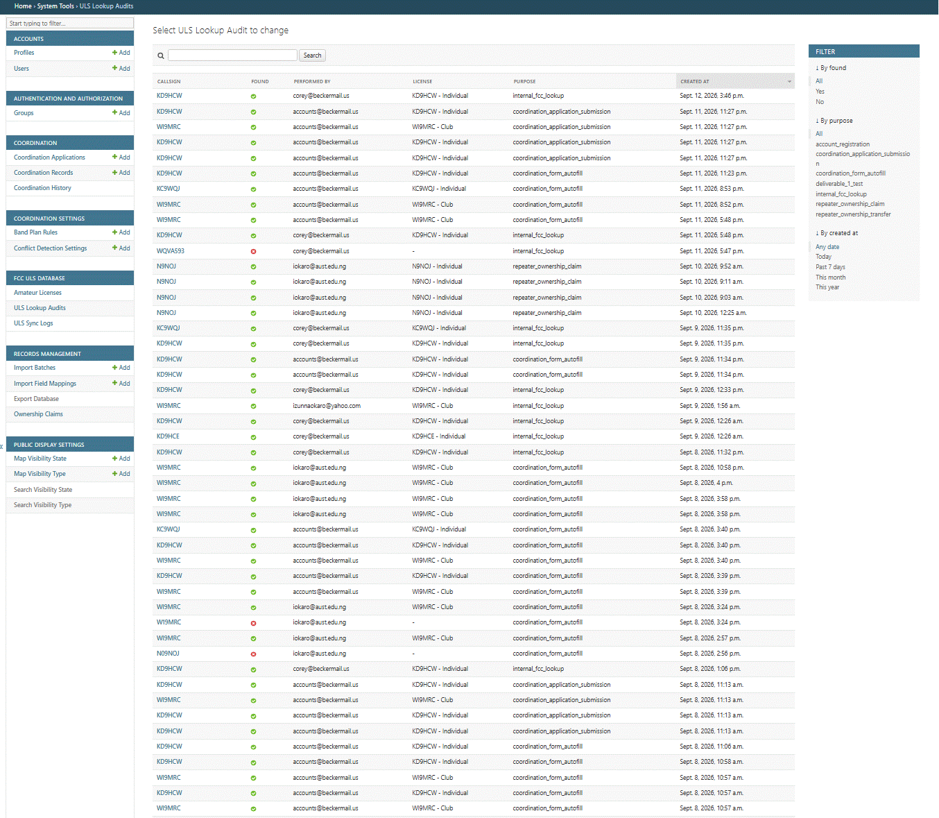
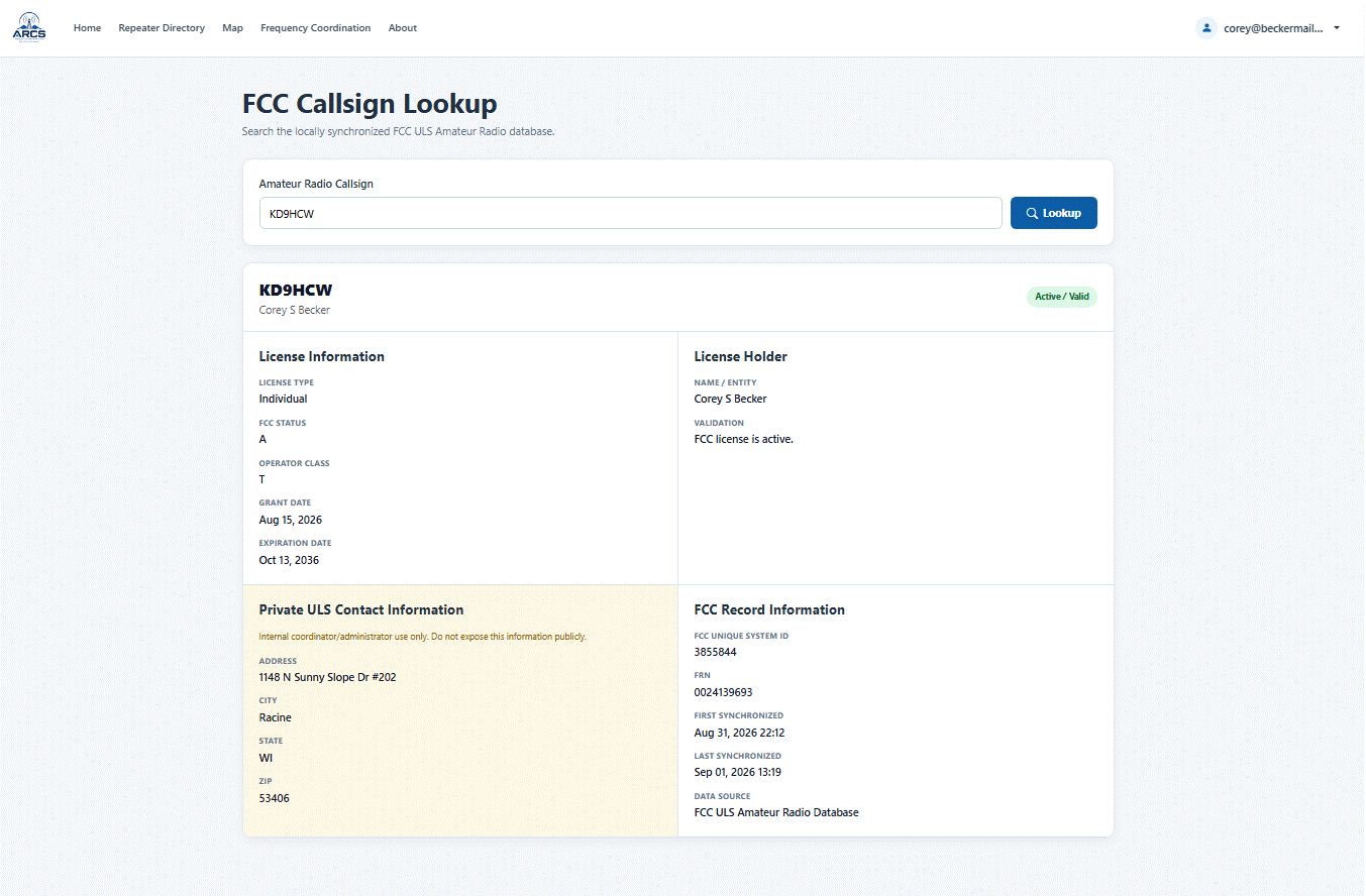
Coordinator tools include an integrated FCC lookup utility. It is fast, intuitive, and significantly easier to use than navigating the FCC website directly.
ERP Calculations
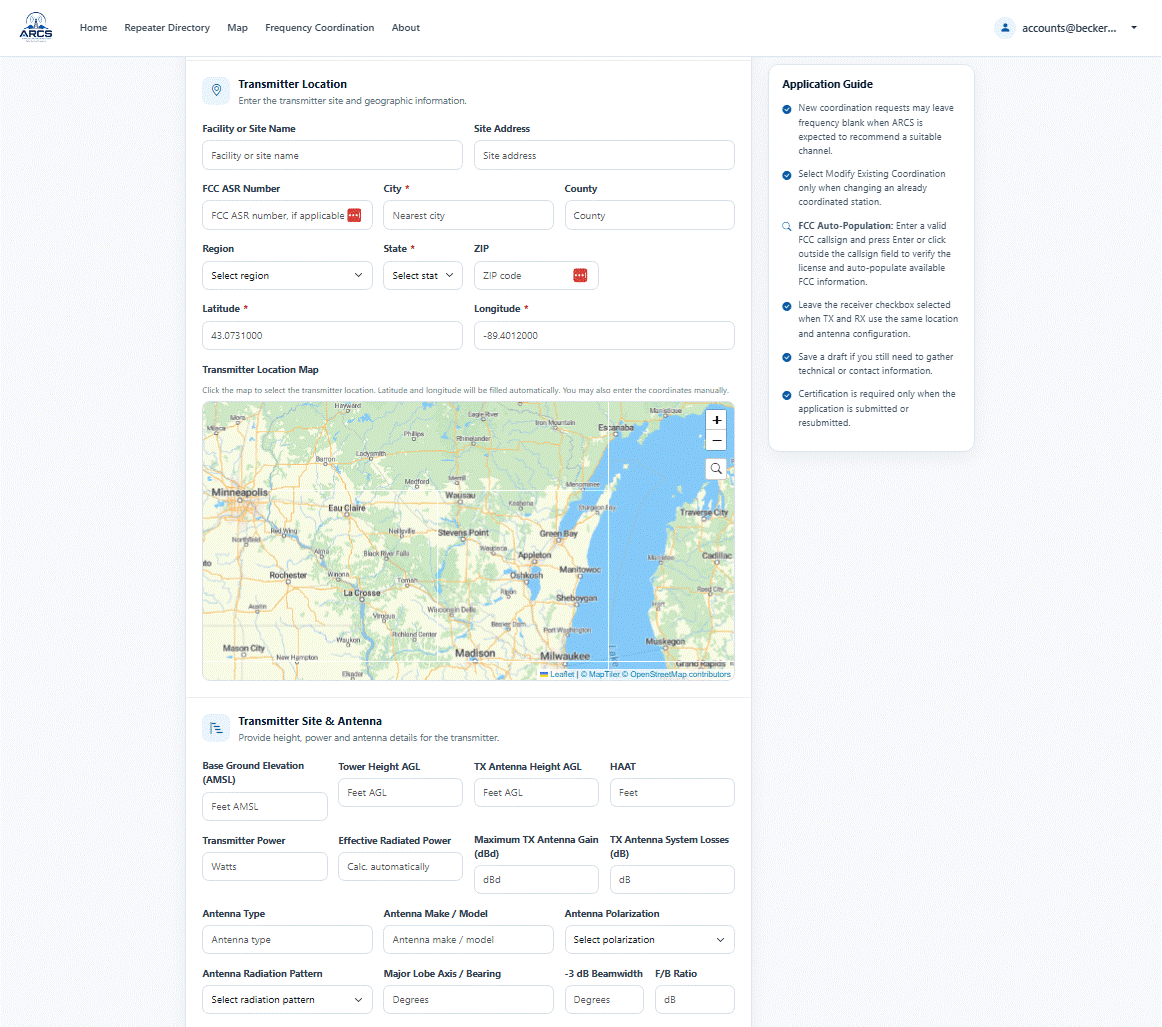
Effective Radiated Power (ERP) is automatically calculated when transmitter power, antenna gain, and transmission losses are entered.
Automated Renewals
The days of sending out renewal notices by hand is over. ARCS will automatically send notices 90, 60 and 30 days before coordination expires. Renewal is self service and will be every two years from the date of coordination.
Mapping & Site Information
The GPS map picker is complete. Users can select a site location directly from the map, which automatically populates the site coordinates and ground elevation (AMSL). Automatic HAAT calculation is currently in development and will be part of the finished product.
Data Import & Migration
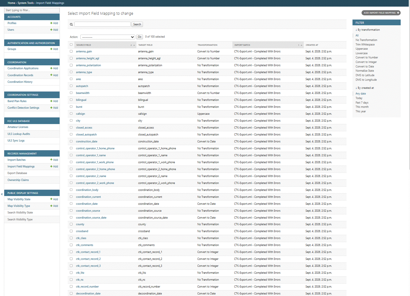
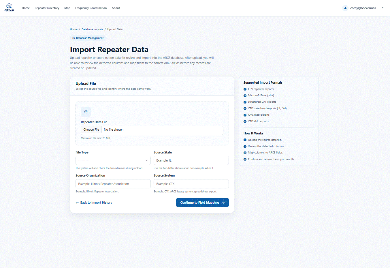
The import engine now supports full field mapping for:
- CTK
- SQL
- JSON
- CSV
- Excel
- XML
- API
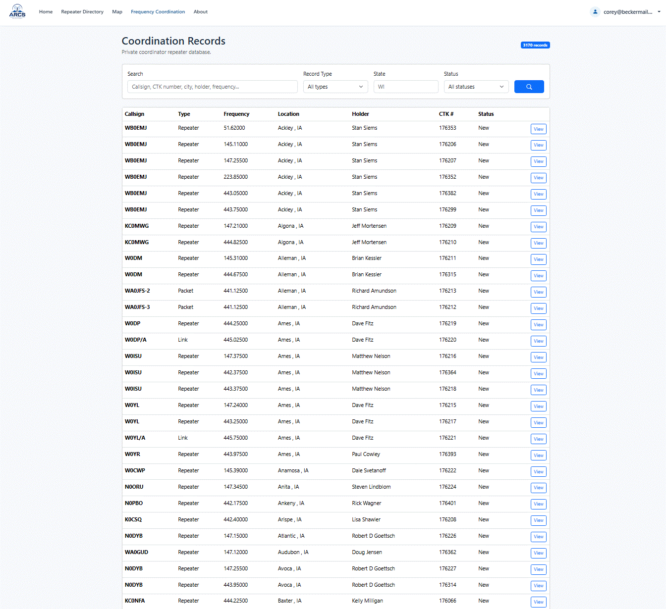
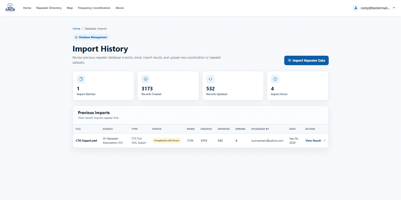
All CTK data has been successfully migrated into ARCS for:
- Wisconsin
- Minnesota
- Iowa
- Indiana
- Illinois
- Michigan
Only four records failed to import, all due to missing or invalid source data. (none of them had call signs, entry errors most likely)
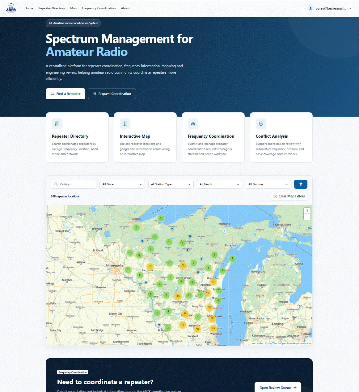
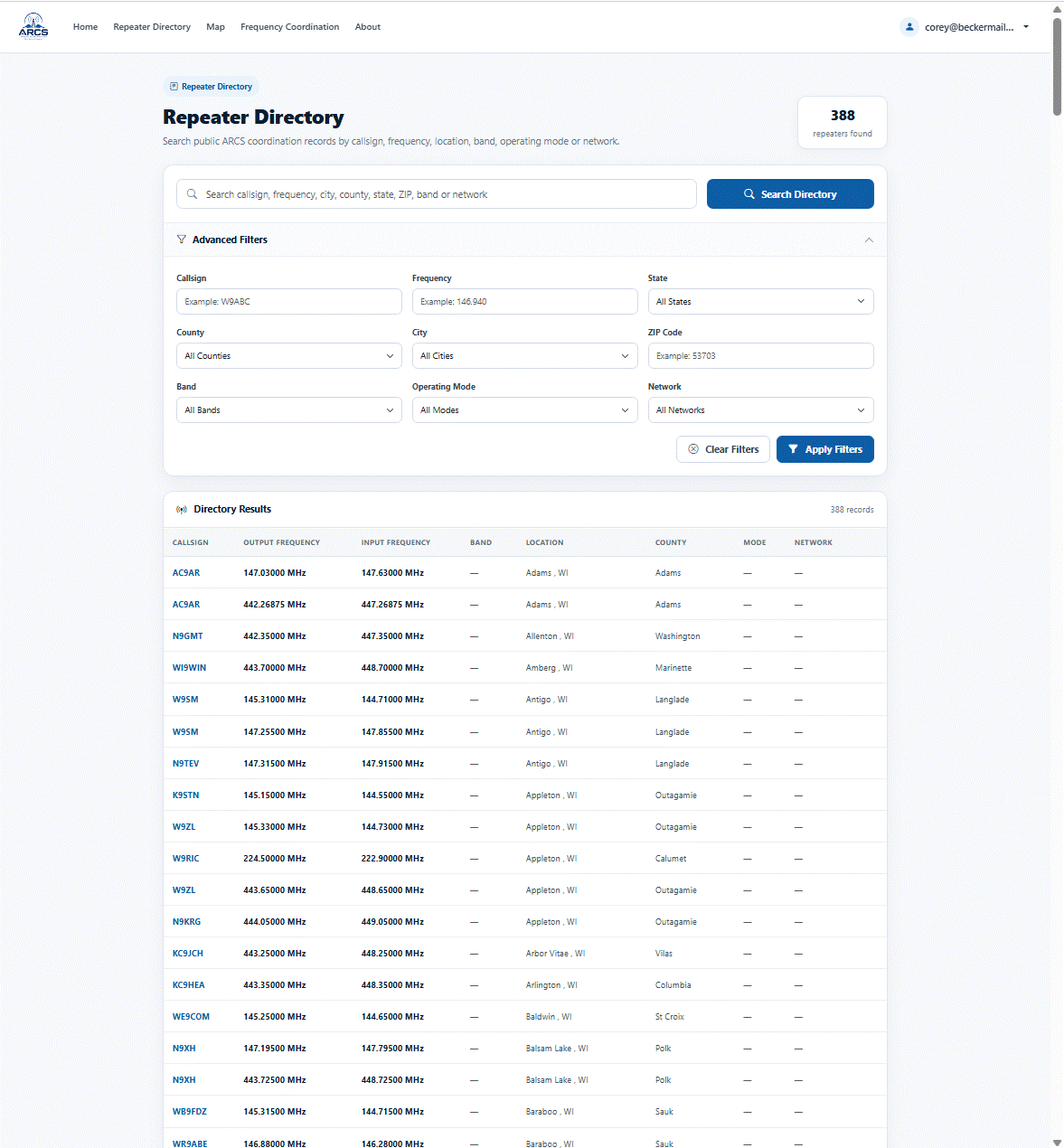
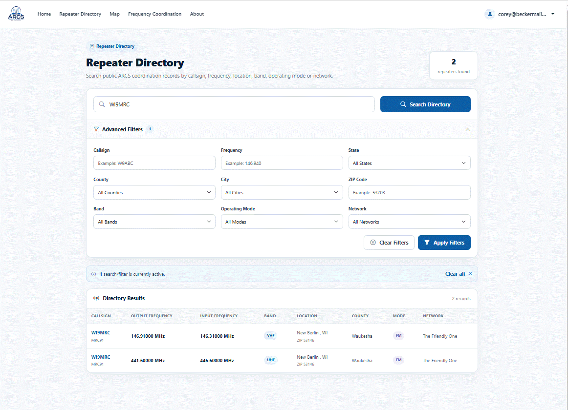
Fully integrated map and directory
- Search by city, state, band, type, status or just zoom
into the map.
- Each repeater has a public listing when clicking on its
map location.
- The map includes administrative display controls.
Currently its set to display WI repeaters only, no links, control stations
etc.. This allows us the ability to use other states data for coordination
by not show it in the directory or map unless they subscribe to ARCS.
Next Steps
Current development priorities include:
- Spectrum management tools
- Reporting and analytics
- Public reporting portal for Phantom / Paper / Ghost /
Offline repeaters with automated scoring system to keep tally.
Noncompliance of coordination notices will be sent automatically once a
configured threshold is reached. If your not using it, you will lose it.
- Additional coordination tools and automation. The team
is working on a point-to-point link planner for the tool set. As well some
coordination s will become automatic after a 24h waiting period as the
system can assign frequencies automatically.
- Converting more free-form fields into standardized
drop-down selections to improve data consistency
- ASR Integration (maybe)
I completed a work order for integrating FCC Antenna Structure Registration (ASR) data through ULS. However, the dataset is massive, and the immediate value appears limited to automatically retrieving tower owner information, structure height, and physical address data.
For now, I have placed that feature on hold while focusing on higher-priority functionality. It may be revisited later as a quality-of-life enhancement that could automatically populate tower height and site address information.
Overall, the project is progressing very well. With the core coordination workflow largely complete, development is beginning to shift toward spectrum management, reporting, automation, and overall usability improvements.
It is already a functioning application.
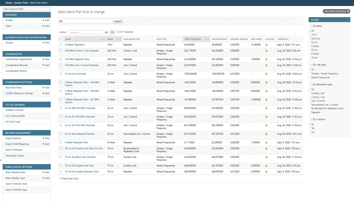
Administration Controls